 Add Row
  Add
Add 


Why Are Africa's Borders So Unconventional?
Africa is home to the most diverse range of national borders on the planet, comprising 54 separate nations. As we investigate the unique characteristics of Africa's borders, it is crucial to understand the historical context that shaped their formation. From the strikingly straight lines cutting through mountains and rivers to convoluted boundaries that seem almost arbitrary, these borders pose intriguing questions about identity and nationalism across the continent.
The Berlin Conference: A Turning Point in African Geography
To grasp why Africa's borders appear so perplexing, one must look back to the Berlin Conference of 1884-1885. This pivotal meeting brought European powers together to redistribute African territories without including a single African voice. The borders established during this period were based on colonial interests rather than geographical and demographic realities, often leading to divisions among ethnic groups and communities that had lived in harmony for centuries. According to a blog from the Wilson Center, this arbitrary partitioning resulted in severe social and economic ramifications. Communities were split, resulting in challenges that persist to this day.
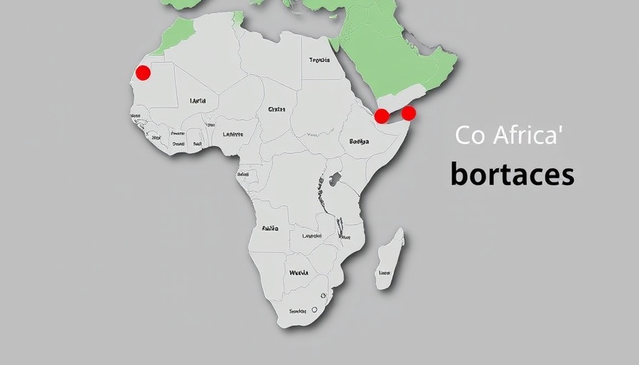
Artistry of Borders: Bir Tawil and Hala’ib Triangle
Take the peculiar case of Bir Tawil, a 2,000 square kilometer piece of land nestled between Egypt and Sudan, neither of which claim it. Following colonial demarcations made by Britain, the borders were redrawn to serve their interests: Bir Tawil became unrecognized, while the resource-rich Hala’ib Triangle became a point of contention. This anomaly is a profound reflection of how colonial legacies continue to impact national identities and rights.
The Gambia: A Geographic Oddity
Traveling west to The Gambia reveals another fascinating quirk in African borders. This small strip of land, almost engulfed by Senegal, traces the Gambia River and speaks volumes about colonial agendas. Originally, the borders were drawn by British and French authorities stocking their sails in the transatlantic slave trade. An amusing legend hints that cannons were fired from ships to determine the country’s width, but historical accounts suggest a more calculated, albeit insensitive, method of border definition—exemplifying how foreign interests dictated African geography.
Political Impact on Identity and Community Cohesion
While Europe may have seen it as merely land to control, the creation of these borders disrupted communities, leading to resource conflicts, identity crises, and a void in cohesive governance. With recent data indicating the continuing struggles in these regions, it becomes vital for both African leaders and the international community to reconsider how colonial legacies shape contemporary politics.
Looking Ahead: Legal and Social Implications
As Africa eyes economic potential through initiatives like the African Continental Free Trade Area (AfCFTA), the relevance of historical boundaries looms large. Addressing these legacy issues not only involves redefining political structures but also societal engagements that restore groaning identities repressed for decades.
The undoing of artificial boundaries may not be feasible; however, inspired by the insights of digital transformation and innovation, modern solutions such as technology can provide tools for enhancing communication and trade relations across divergent communities affected by these historical borders.
Conclusion: Time to Rethink African Borders
Understanding Africa's unusual borders invites us to reflect on the effects of historical injustices on present-day identity and politics. As discussions emerge on economic integration and societal progress, attention must be drawn to how these realities continue to shape Africa's path forward. The blockchain technologies and digital identity solutions can pave the way for cross-border cooperation, diversifying livelihoods while respecting ethnic compositions and historical contexts.


Write A Comment